CanopyLedger

Monthly land monitoring, Australia

See what changed on the ground.

A concise monthly report built from free satellite and government data. It screens vegetation cover, potential clearing, potential fire scar and open water for one supplied site boundary.

Satellite observations only. The report describes detected surface change; it does not make a finding about legal compliance.

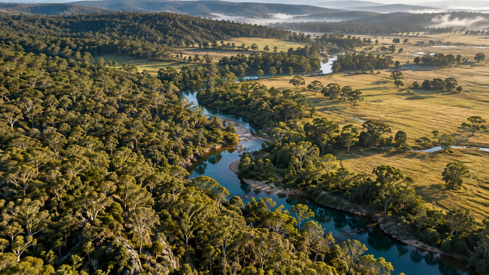
Illustrative aerial view of Australian eucalyptus bushland, pasture and a creek
A clearer view of your land.One named site. One page. Every month.
Illustrative landscape artwork · not site observations
Four measures.
One monthly record.
Vegetation cover
Potential clearing
Potential fire scar
Open water

The report

A monthly record
that is ready to read.

Each report names the site and observation period, shows the computed results in one table, and records the source observations, method and interpretation limits.

Named site & observation periodComputed results in one tableSources, method & limits
Canopy LedgerMonthly report

Wotonga offset area

August to September 2023

One site. One observation record.
Vegetation coverNDVI
Potential clearingChange flag
Potential fire scarNBR
Open waterMNDWI

Observation IDs · Valid coverage
Boundary note · Results · Limits

Contents overview · download the PDF for the actual results

See the actual output

Wotonga offset area.
A real sample.

August to September 2023

The sample is the output of the reproducible pipeline, using the public site boundary and Digital Earth Australia Sentinel-2 Analysis Ready Data. It includes the observation IDs, valid coverage, boundary note, results and limits.

Download PDF · 1 page

Method and accuracy

Transparent thresholds,
with the limits beside them.

The threshold methods and interpretation limits below are copied from the Wotonga sample report. These are screening measures, not field-calibrated findings.

Vegetation cover

Method

Share of jointly valid 10 m Sentinel-2 pixels with NDVI ≥0.30; change from prior month.

Accuracy / interpretation limit

Spectral green cover, not vegetation type or ecological condition. Seasonal and soil-background effects remain; ±1 pixel (10 m) at edges.

Potential clearing

Method

Prior NDVI ≥0.30, current NDVI <0.20, and NDVI fall ≥0.20 on jointly valid pixels.

Accuracy / interpretation limit

Screening flag, not proof of clearing. Small/narrow changes below 10–20 m may be missed; shadows, senescence or disturbance can mimic loss.

Potential fire scar

Method

NBR fall ≥0.20 and current NBR <0.20 using NIR and SWIR on jointly valid pixels.

Accuracy / interpretation limit

Screening flag, not a fire perimeter. Burn severity thresholds are uncalibrated locally; bare soil can be confused.

Open water

Method

Current MNDWI ≥0.15 and NDVI <0.20 on valid pixels.

Accuracy / interpretation limit

Surface water visible to Sentinel-2 only. Tree cover, turbidity and sub-pixel water reduce detection; wet soil/shadow can confuse.

Important limits

Candidate days are ordered by lowest scene-level cloud metadata; the first same-day multi-tile observation with at least 70% valid site coverage is used. This does not prove it is the clearest observation over the site or represent a monthly median. Thresholds are transparent but not field-calibrated for Wotonga. Cloud and shadow filtering uses Digital Earth Australia FMask classes 1 and 5 as valid. Results must be independently checked against imagery and field evidence before reliance.

Data sources and attribution

Free public data,
named in the output.

Copernicus / Sentinel-2 and Digital Earth Australia: Sentinel-2 Analysis Ready Data supplied by Digital Earth Australia / Geoscience Australia, © Commonwealth of Australia, licensed under CC BY 4.0. Contains modified Copernicus Sentinel data.

NVIS: National Vegetation Information System, Department of Climate Change, Energy, the Environment and Water, © Commonwealth of Australia, licensed under CC BY 4.0. Source-family attribution only: no NVIS dataset or version was consumed, and NVIS supplies no monthly change measurement in this sample.

Let's start with your land

Have a site in mind?

Email us with the site name and the boundary you want watched. A person reads every email and replies.

hello@canopy-ledger.com

Canopy Ledger · sole trader · Belmont NSW 2280, Australia

What you are buying, and the policies

Plain terms.

The details, all in one place.

What is supplied

One monthly PDF report for one site boundary that you supply, delivered by email. The report screens vegetation cover, potential clearing, potential fire scar and open water from free public satellite data. It is an observation record. It is not a legal compliance finding, a field survey, or advice.

Billing and cancellation

A$99 AUD per site per month, charged monthly in advance. No minimum term and no lock-in. Cancel any time by email; cancellation takes effect at the end of the month already paid for, and you still receive that month's report. No further charges are made after you cancel.

Refunds

If no report is delivered for a month you paid for — including when usable imagery coverage for your site fails our published checks — that month is refunded in full. Your first month is refundable in full within 14 days if the report is not useful to you. Refunds are returned to the card used, normally within 10 business days.

Privacy

This page uses no analytics, trackers or cookies. If you contact us we hold your name, email and the site boundary you send, on our own equipment in Australia, only to produce and support your reports. We do not sell or share it, and we delete it on request. Satellite and government source data is public. Card details are handled by our payment provider and are never seen or stored by us.

Restrictions

Reports cover sites in Australia, where Digital Earth Australia Sentinel-2 coverage exists. Reports are supplied for the customer's own information and must be independently checked against imagery and field evidence before any decision or reliance. Nothing here is a guarantee of detection.